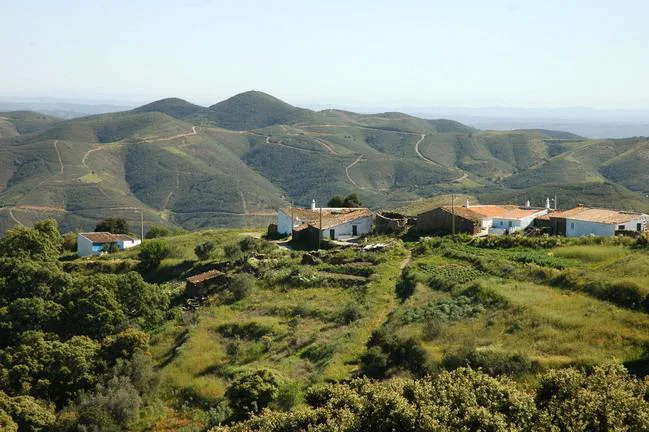
Just a short drive inland from Tavira, the landscape transforms into rolling hills, dense cork oak forests, and traditional whitewashed villages. This is the Serra do Caldeirão, a mountain range that forms the natural border between the Algarve and the Alentejo regions. Despite its modest altitude, with peaks like Pelados reaching up to 598 meters, the area offers a rich tapestry of biodiversity and cultural heritage.
Nature and Trails
The Serra do Caldeirão is a haven for hikers and nature enthusiasts. Trails wind through cork oak groves, heather-covered slopes, and alongside clear streams. The region’s schist and greywacke soils support a variety of flora, including wild lavender and cistus.
Starting points like the village of Parises or areas near Cachopo provide access to well-marked trails. These routes offer panoramic views and a chance to experience the tranquility of the Algarve’s interior.
Navigating the Trails
Given the remote nature of the Serra do Caldeirão, it’s advisable to use navigation apps like Komoot, AllTrails, or Wikiloc. These platforms offer GPS tracks and user reviews to help you plan your hike. Always carry sufficient water, wear sturdy footwear, and inform someone of your planned route.
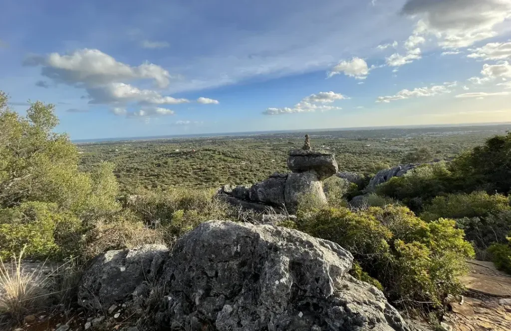
Cerro da Cabeça
For those interested in exploring the Cerro da Cabeça, it’s a separate destination located near Moncarapacho. This limestone hill, part of the Serra de Monte Figo, offers its own unique hiking experiences and geological features.
Whether you’re seeking the rugged trails of the Serra do Caldeirão or the distinctive landscapes of the Cerro da Cabeça, the Algarve’s diverse terrain provides ample opportunities for outdoor adventure.