Porque é que tantas ruínas permanecem de pé na zona rural de Tavira e da Argóvia
Um olhar suave sobre o património algarvio, as regras da terra e a vida rural
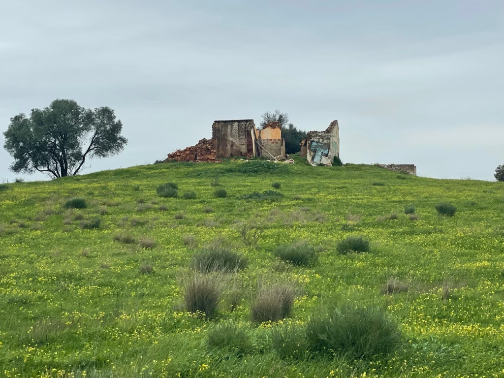
Se explorar a zona rural dos arredores de Tavira, rapidamente se aperceberá da sua existência.
Casas antigas sem telhado. Muros de pedra suavizados por figueiras. Ruínas tranquilas escondidas entre olivais e amendoeiras.
À primeira vista, podem parecer abandonados.
Mas no sotavento algarvio, estas ruínas raramente são esquecidas. São muitas vezes cuidadosamente deixado de lado , O seu destino é o turismo, moldado por leis de planeamento, paisagens protegidas e raízes familiares profundas.
Uma ruína significa muitas vezes direitos de construção legais
Em Portugal, uma estrutura existente - mesmo em ruínas - pode ter um valor jurídico importante.
Quando um edifício é registado como tendo existido anteriormente, isso pode permitir que o proprietário o faça:
- renovar ou reconstruir dentro da área de implantação original
- restaurar uma casa rural onde não seria permitida uma nova construção
Se uma ruína for totalmente demolida, estes direitos podem perder-se.
É por isso que muitos proprietários de terras na zona rural de Tavira deixam os muros de pé. Estão a preservar possibilidades futuras e não a negligenciar a terra.
A renovação é mais fácil do que a construção nova
Em todo o interior algarvio, as autoridades de planeamento favorecem geralmente reabilitação em relação a novas construções .
Restaurar uma quinta ou casa de campo tradicional é muitas vezes:
- mais fácil de licenciar
- mais em conformidade com as regras de planeamento locais
- a única opção nas zonas rurais
A construção de uma nova casa num terreno vazio - mesmo que seja propriedade privada - é frequentemente restringida, especialmente fora das aldeias.
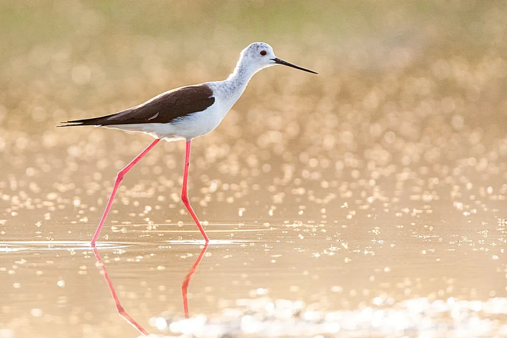
Paisagens Protegidas Moldam o Sotavento Algarvio
Grande parte da terra à volta de Tavira está protegida por regulamentos agrícolas e ecológicos. Estas zonas existem para preservar:
- terras agrícolas
- sistemas de água
- biodiversidade
- o carácter rural aberto do Algarve
Nestes domínios:
- a construção nova é geralmente limitada
- os edifícios rurais existentes podem ser restaurados
Aqui, as ruínas tornam-se uma ponte entre as pessoas e a paisagem - uma forma de viver com leveza no seio da natureza.
Restaurar uma ruína requer tempo e paciência
A renovação de uma ruína no interior do Algarve é um compromisso a longo prazo. Os proprietários enfrentam frequentemente:
- custos de construção elevados
- procedimentos municipais morosos
- alteração da regulamentação
- inquéritos arqueológicos que podem atrasar os trabalhos
Muitos optam por esperar até que chegue a altura - e o orçamento - certa. Até lá, a ruína continua a fazer parte do ritmo tranquilo da terra.
Terrenos familiares e propriedade partilhada
Na serra de Tavira, a terra é frequentemente herdada por várias gerações. Vários herdeiros podem partilhar a propriedade, por vezes vivendo longe uns dos outros.
Sem um acordo total, a restauração não pode começar.
A ruína permanece - uma lembrança visível da história da família que ainda se desenrola.
Baixos impostos sobre o património reduzem a pressão
As ruínas têm normalmente impostos prediais baixos. Uma vez restaurada, a casa torna-se mais dispendiosa em termos de manutenção e de impostos.
Para muitas famílias, simplesmente não há urgência em mudar o que já existe.
Mais do que pedra: Memória e identidade
Para além dos regulamentos e da economia, há a emoção.
Muitas ruínas foram outrora:
- casas de família
- pequenas explorações agrícolas
- lugares de memória da infância
Demoli-los parece definitivo. Deixá-los de pé mantém a história - e a possibilidade - viva.
Uma paisagem que se move lentamente
As ruínas da zona rural de Tavira não são sinais de abandono. Elas reflectem:
- respeito pela proteção das terras
- valores tradicionais de planeamento
- fortes laços familiares
- uma abordagem mais lenta da mudança
No Sotavento Algarvio, o tempo não é desperdiçado - é permitido.